Simple answer: Yes you can cycle around Anglesey, in fact Anglesey is intersected by so many roads, your route choices are endless!
Update- route now available!
For the road cyclist, you could follow a 62.5 mile route around the main A roads, with a total ascent of 3584’. That would mean that you cycle around Anglesey in around 7 hours.
But we would suggest that this is not the best way to see or experience the island!
Anglesey also has Sustrans routes. National cycle Route 8, originating in Cardiff, starts at the Britannia Bridge, and takes you to the port of Holyhead. Route 5 branches off at Valley and takes a central line to Menai Bridge. This provides you with two choices for traversing the island.
We wanted to cycle around Anglesey on a ‘circumcycle’, using as many coastal routes as possible. The route we devised took advantage of our cycling knowledge of Anglesey and some of our Guided Bike Tour routes as well! When cycled, the route turned out to be 107 miles, with a height gain of 5548’.
This was slightly shorter than mapped, as some of the furthest roads on Ynys Cybi / Holy Island were closed due to roadworks. We also spotted some alternative options, not necessarily ‘shortcuts’, but routes which took us along even smaller tracks (and the occasional short portion of the Anglesey Coastal Path).
Devised and cycled by Eli our MD, for her own amusement, she decided to cycle around Anglesey in two days, (1 & 2/6/22), but the route could easily be broken up into manageable portions to suit the rider’s ability.
We would not normally lead guided bike tours on some of the busier roads included on this trip. Likewise, you could change the start point to suit yourselves.
Day 1: the cycling begins…
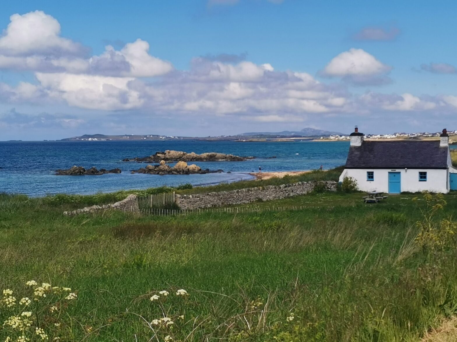
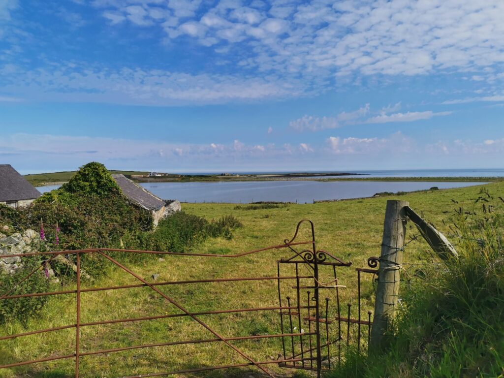
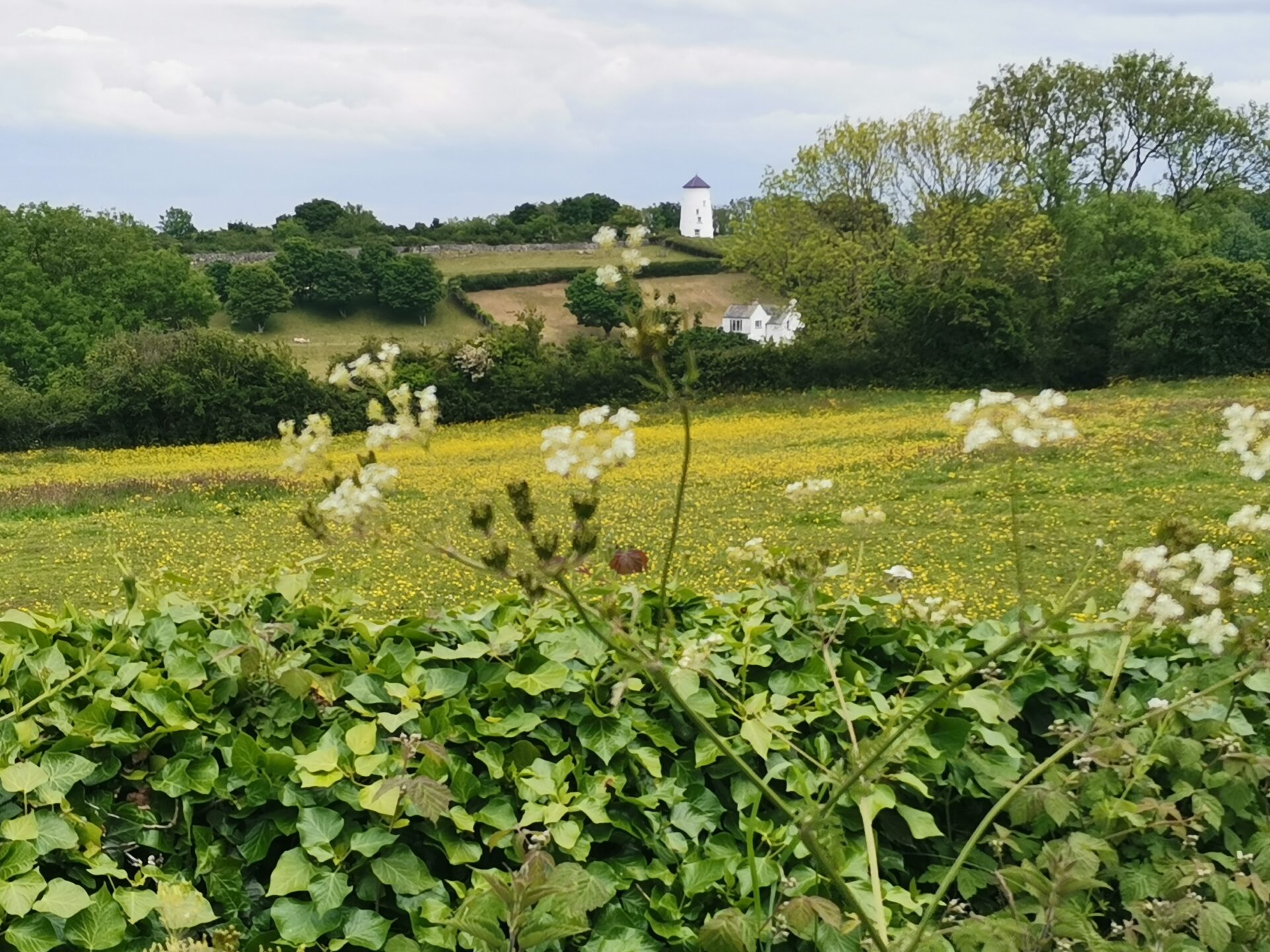
Eli began at Menai Bridge, cycling the main road to Llanfairpwll, to the A4080. An alternative would be to follow Sustrans route 8 to Llanfairpwll and then crossing to join the A4080. She took the side road for Moel-y-Don, and before reaching the Straits, followed a route towards a short unmetalled portion of the Anglesey Coastal Path.
This path and a left turn eventually reaches Brynsiencyn, where there’s a left turn on the bend to cycle down to the Straits. We use this as part of our Prehistoric Anglesey Guided Bike Tour). (You can avoid joining the main road here by cutting through the Hertitage Café car park- being aware of moving vehicles, of course!)
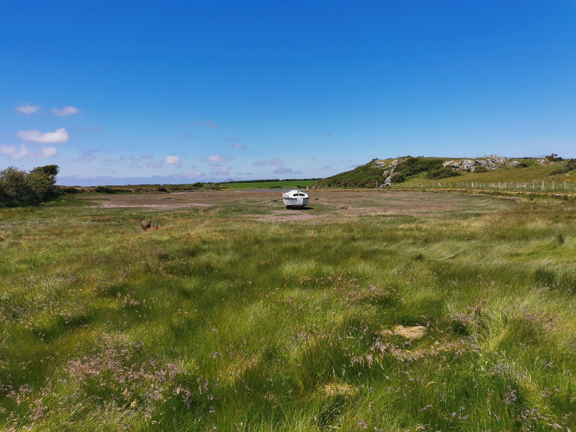
After cycling along the Straits, a second breakfast was had at the Anglesey Sea Zoo (open from 9.30), before eventually rejoining the A 4080 and cycling on towards Newborough, and on to Malltraeth for the next quieter detour to Aberffraw.
Having passed Bodorgan Estate and crossed the dunes to Aberffraw, (a route we use on our Cwyfan Church in the sea Guided Bike Tour), the route rejoined the A4080 until turning off for Rhosneigr. Despite it being half-term holiday, the A road was surprisingly pleasant and quiet.
Take a look at our Guided Bike Tours now!
Off the planned route…
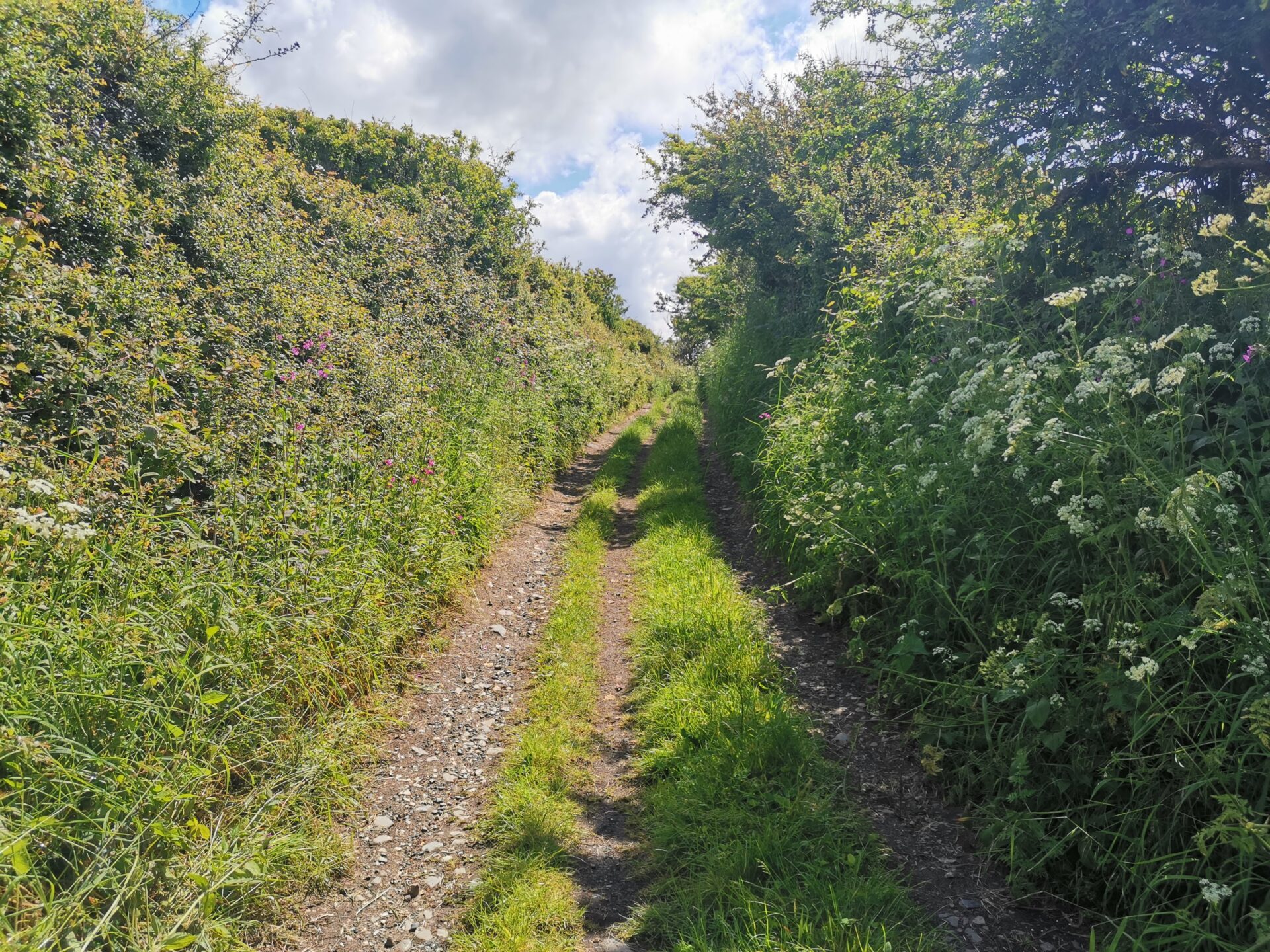
Cycling out of Rhosneigr, Eli spotted a track, previously missed on the map and uncycled, and cutting off a corner. It turned out to be delightful flowery track, along which, Eli spotted a tiny weasel, no longer than a biro, (a young one?) right in front of the bike!
She then cycled towards Sustrans route 8 and cycled past RAF Valley, before taking another mini-adventure (which did involve lowering the bike down a single-sided stile, having pushed along a short section of Anglesey coastal path, this could have been avoided at a lower tide!) This cut another corner and used an old ford crossing of one of the estuaries of the inland sea beyond Llanfairynneubwll.
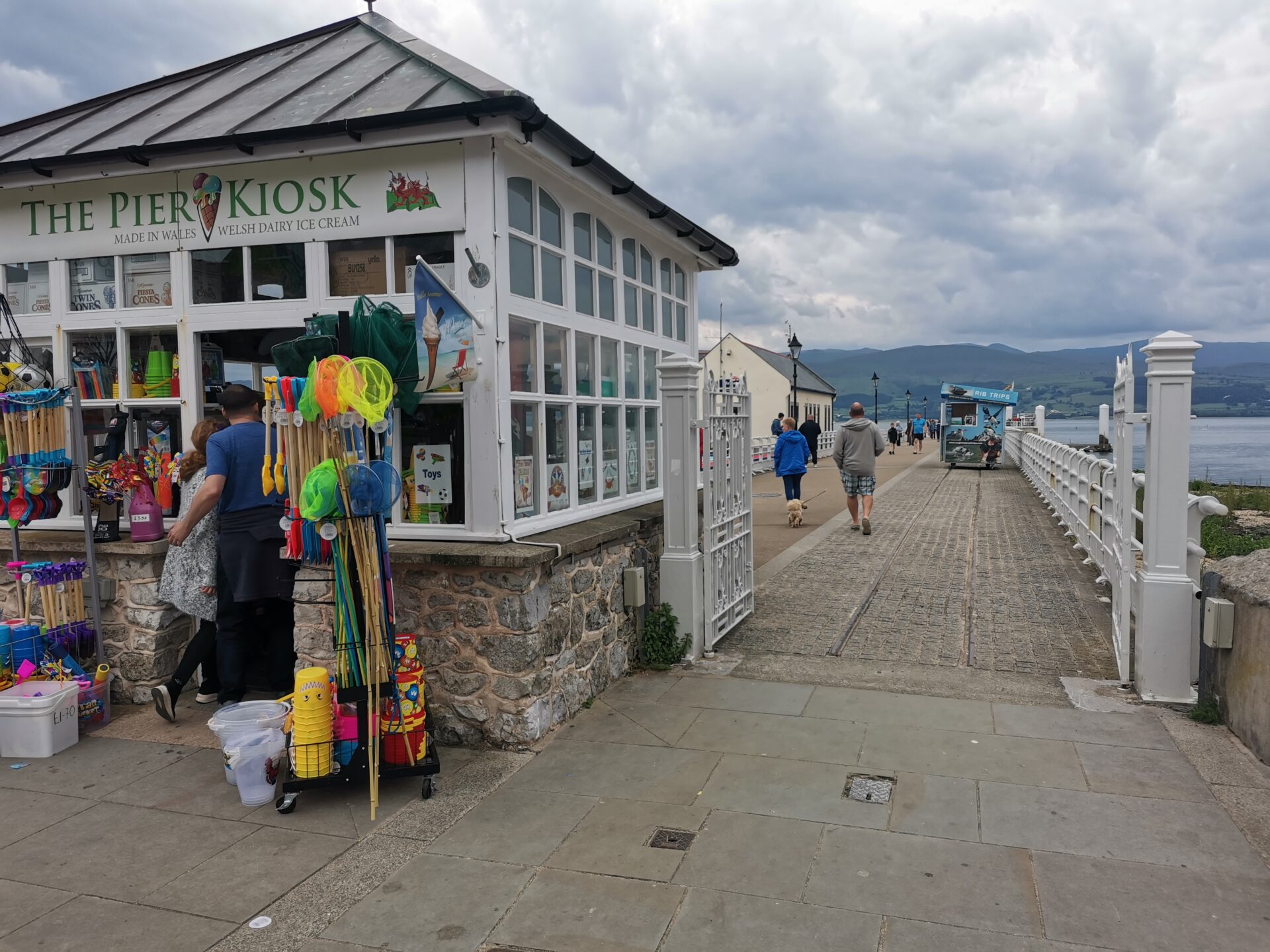
The route then cycled across the bridge to Holy Island at Four Mile Bridge or Pont Rhyd y Bont. Here, Eli took a long detour to include Rhoscolyn in the route, before cycling to Trearddur Bay for a late lunch at the Sea Shanty, Trearddur Bay! (Late only as Eli was still fuelled by flapjack!)
After a late-lunch
Eli knew the next part could be demanding, cycling towards Mynydd y Twr or Holyhead Mountain, but lunch refreshed the legs! The original route was not going to include the hill up to South Stack, but did include the coastal road out of Trearddur Bay and hill towards Penrhosfeilw, and beyond into Holyhead. There’s a road closure at the moment, due to the enabling works for the Morlais marine energy demonstration zone, making the overall route a bit shorter than planned. (This is why our Prehistoric Ynys Cybi tour is not currently available).
Crossing into Holyhead Harbour across the walkway, brings you out to follow Sustrans Route 8, though Eli likes a detour along lovely shared paths through Penrhos Coastal Park. This wonderful space and home of red squirrels, is, unbelievably, threatened by a proposed holiday village.
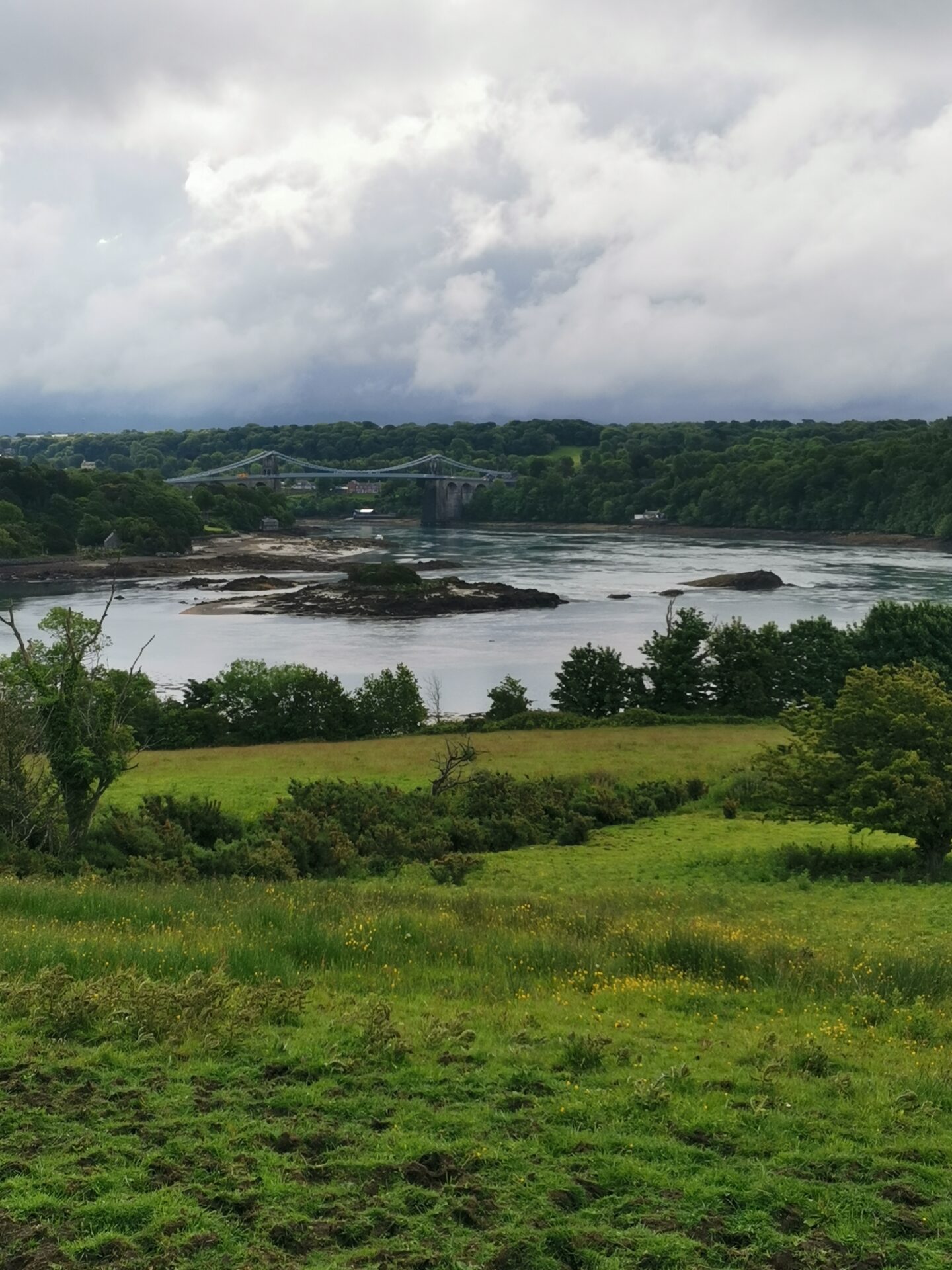
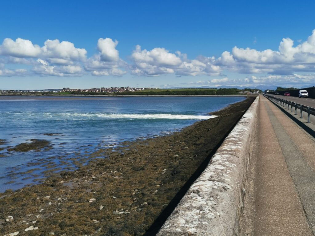
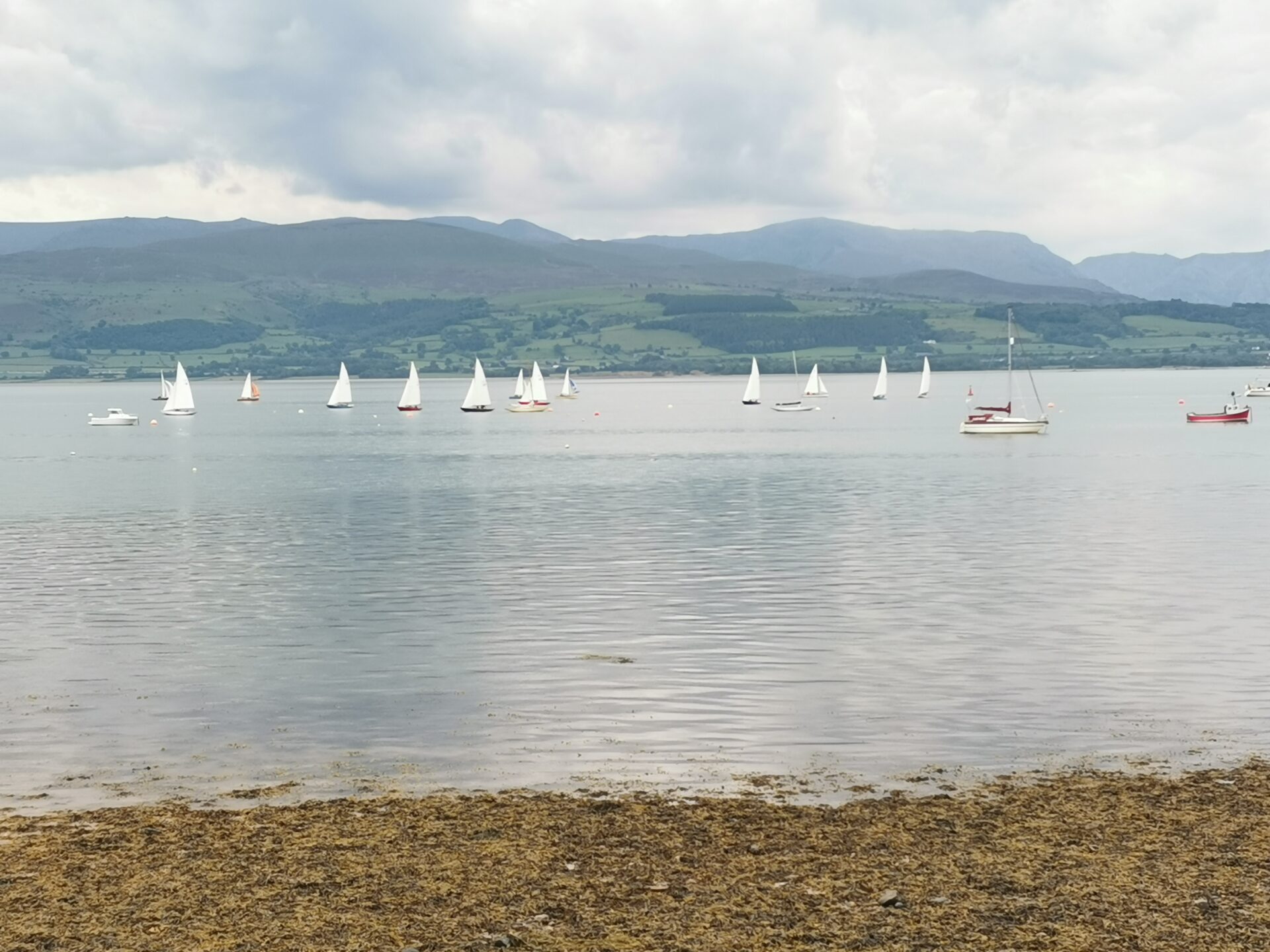
Cycling across the Stanley Embankement on a dedicated cycle/ walking roadway is an enjoyable experience. Here water enters and leaves the inland sea with quite a force, so it can be interesting to view, depending on the state of the tide. At Llanynghenedl, where Sustrans Route 8 turns inland on the B5109, the circuit carried on the A 5025 before turning off at Pen yr Orsedd for a fairly hilly few miles. Eli completed day 1 at Llanfaethlu and 56 miles of cycling and a bit of walking. This was far longer than her usual long cycles of around 30+ miles, and she was pleased at how far she’d cycled, with potentially more miles ‘in the tank’. One aspect of the challenge was to just see how far she’d cycle in a day.
Cycling day 2
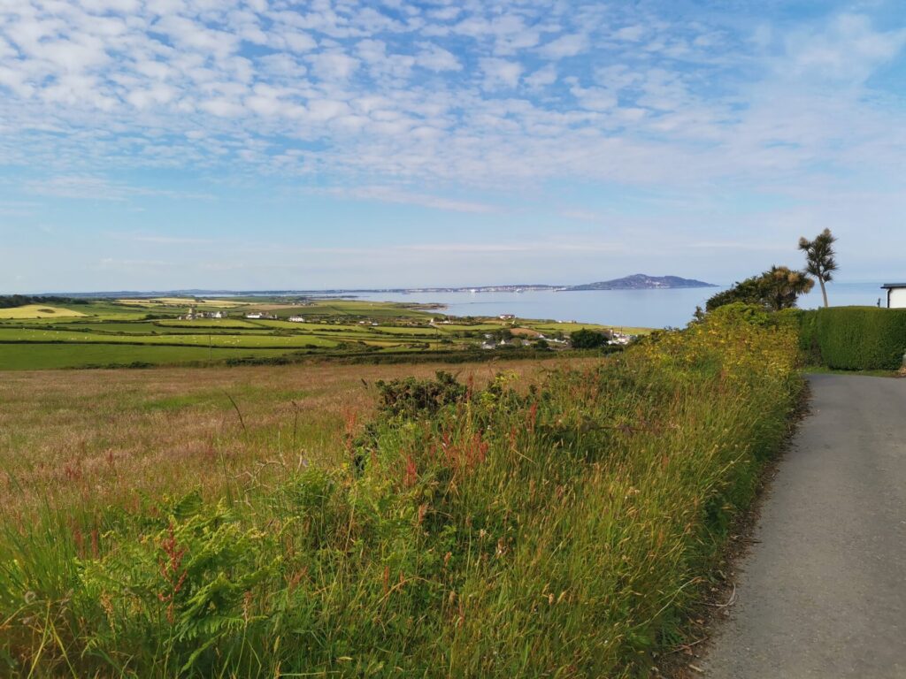
Supported (with lifts to and from) by a family member was a great help. Cycling around Anglesey, day two began with more blue sky than day one, and with copious sea views, as Eli cycled the quiet coastal road towards Church Bay/ Porth Swtan. Leaving Porth Swtan with a push uphill and taking a left junction leads to more delightful coastal miles of quiet roads and sea views.
There is a possible pushable short cut along a public footpath across fields where the road takes a V shape inland to Llanfairynghornwy- done in the past, but not today!
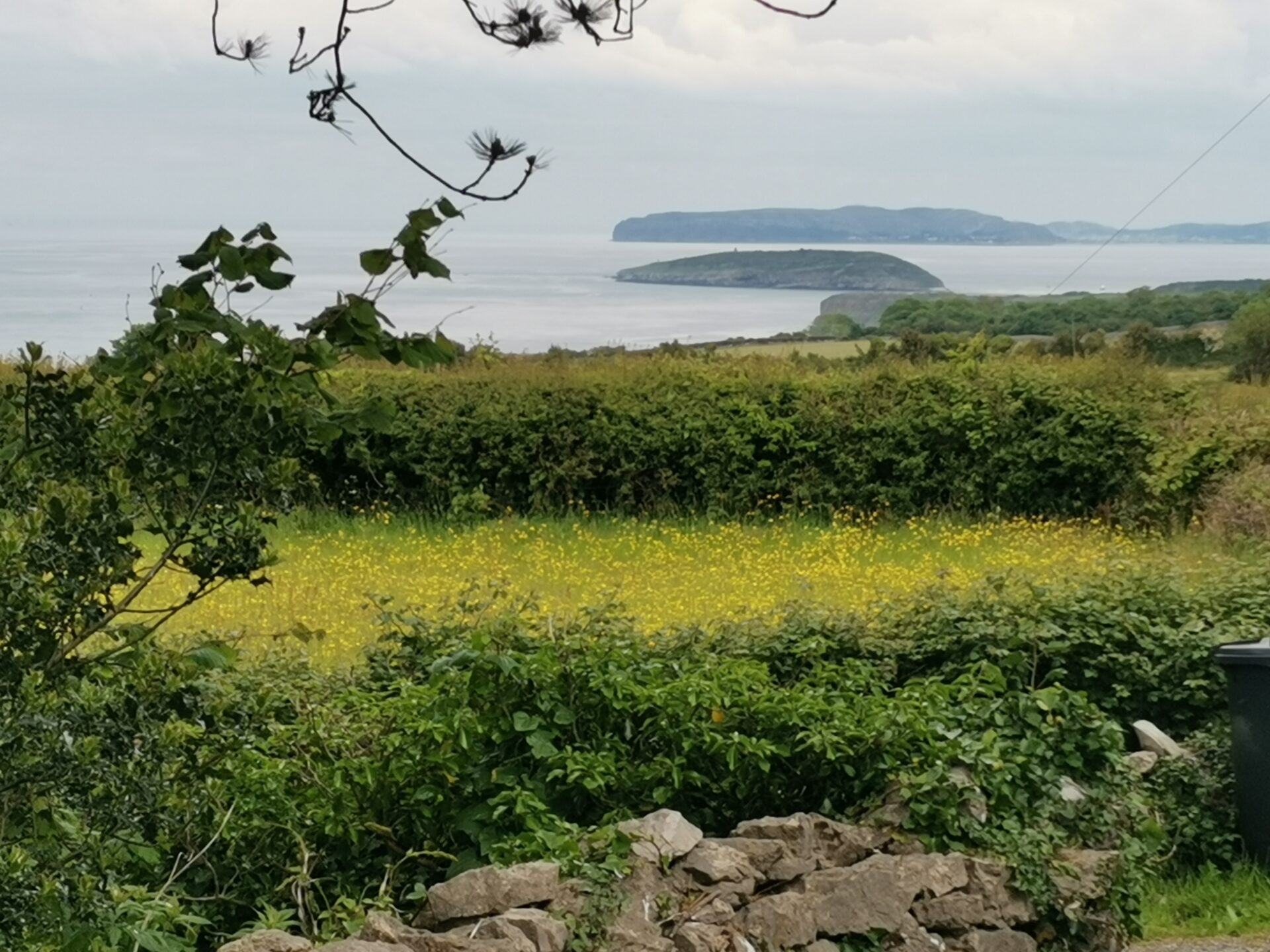
Passing Cemlyn Wildlife Trust Nature Reserve and its thousands of nesting terns, the route joins the A5025 again into Cemaes. This can be avoided by crossing the A 5025 junction and taking a V-shaped route to rejoin Cemaes at the mini-roundabout at the edge of the village (we use this as part of our Salty Tales for Cyclists route). Taking the option to the beach car park provided a coffee (and ice cream- minimum card spend £5) stop, and a lovely cycle across the beach promenade, before joining another coastal country lane.
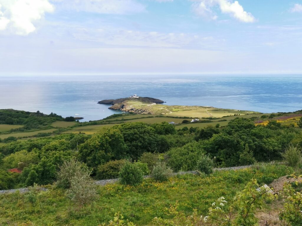
It was then necessary to rejoin the A5025 into Amlwch, heading for Amlwch Port, towards Mynydd Eilian. This presented a 18% hill- which was partly walked, but it gets less steep towards the top. Being a glutton for punishment, Eli then chose to take the road which circles around the seaward edge of Mynydd Eilian, for an amazing view of Point Lynas, where traditionally, the pilots have joined ships to guide them into harbour.
It was the necessary to rejoin the A5025 until Pentraeth. This is one of the reasons we don’t provide Guided Bike Tours in this part of the island, this is a busy, fast road, with few circuits which totally manage to avoid it.
Penmon Point
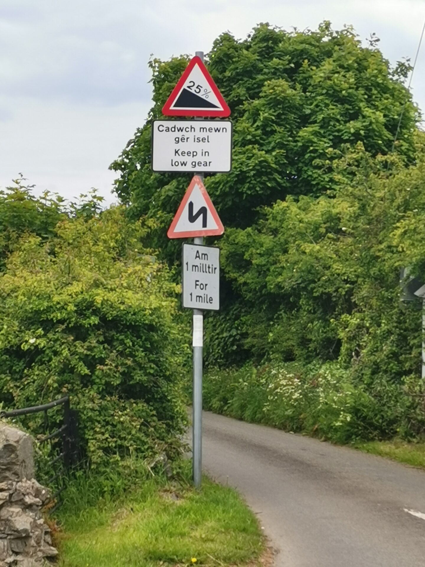
A junction at Pentraeth marks the start of circumnavigating the south easterly point of Anglesey. This Pentraeth-Beaumaris road is well-used, but gets quieter once you’ve taken the junction towards Llanddona. A 25% hill and local knowledge suggested that it was best not to take the road down to along and up from Llanddona beach at this stage of the day! Cycling past the TV transmitter mast and Bwrdd Arthur (Arthur’s table- the hint is in the name) was challenge enough.
Cycling past Mariandyrys and Caim, Eli says she forced herself to have another ice cream at Beaumaris just to stop for a rest- and how strange it was to arrive to the Bank Holiday bustle of this popular resort, having seen very few people or bikes all day, or indeed cars, apart from the A road!
Eli arrived back at Menai Bridge at 5.00, having cycled 51 miles and climbed 3,447’.
If you’ve done something similar, share your experiences with us on our social media channels!
Route now available!
Due to the amount of requests for the route, we have created a .gpx file which you can follow yourself- not including detours or road closures (as above) and totalling some 110 miles.
We hadn’t intended to sell this route and have given away so many of the original route .gpx files, that we’ve decided to sell the whole intended route for £20, £10 of which will go to a charity which supports and enables cycling (do you have recommendations? More research needed!) Do get in touch if you’re interested!